
Upper Grose
TLDR;
A loop from Victoria Falls car park down to Burra Korain Flats, then follow the Grose River upstream along its boulder-strewn bed to the Koombanda Brook junction and finally back to the plateau via Ikara Ridge.
One kilometer of boulder blockups made for very slow going between Birrabang and Dalpura junctions.
Route
Leaving a car at the small Ikara Ridge car park, it was a 1.5km downhill trot to Victoria Falls car park.
From here is the track down to the river. It is a farily steep and occasionally rough descent of around 400m, and the last section drops onto a stone-paved crossing and a national park marker at the water.
From Victoria Falls Lookout the Grose Valley opens out below. Immediately below is Victoria Creek and the fold in the valley is where is joins the Grose flowing from left to right.

The official river crossing and marker at the bottom of the Victoria Falls descent. NPWS have improved the steps down to this point and beyond towards the campsite.

From the crossing it’s downstream, following Victoria Creek towards Burra Korain campsite and the Grose.
There was only one tent at the campsite - NPWS have done some work there and there were plenty of individual tent spots and a new toilet block.
Joining the Grose here was easy enough - then pleasant rock hopping through shallow water with wide level banks.

That lasted for about an hour.
Then the valley got tighter. The bed become full of big boulders, with flood debris stacked between them and only the occasional easy line along the bank. That makes the going slower than the map suggests.
There was approx 1km of serious boulder blockages between Dalpura Creek and Birrabang Brook. It took over 90 mintes to negotiate them entailing many hard scrambles only after eliminating all other options. Battling the vegetation on the steep loose banks was always the last option.
The water was usually calf deep, and never more than thigh deep.

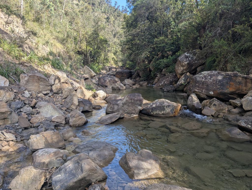
One of the easier wider, rockier sections - the bank is walkable.

A blue Sacred Kingfisher perched over a pool. This is a typical ‘easy’ non-blocked section with flood debris and fallen trees. The going is tough, the banks a mostly steep and impenetrable.

A finely balanced cubic boulder perched in the middle of the creek.

And looking back at it from upstream…

The blockups often look trivial, but getting up the slippery boulders often with no handholds and sometimes above dropoffs if risky.
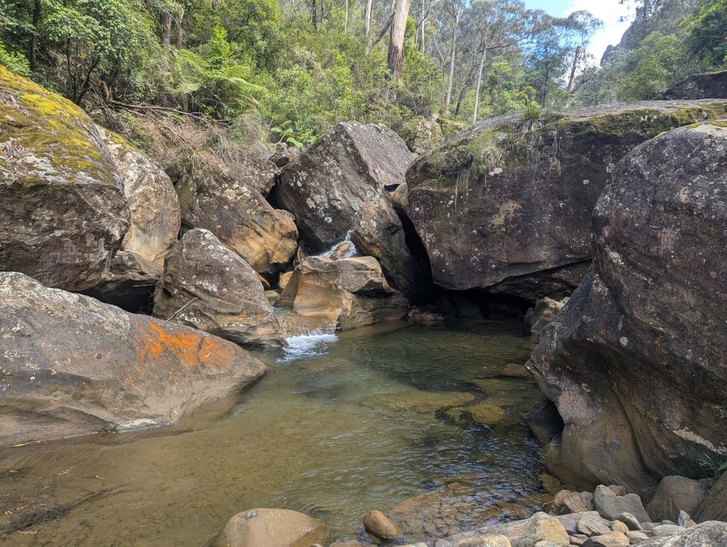
Another blockup in the boulder field.

Dalpura creek is obvious. Note the brown tanin stains.

A small cascade falls out of an infinity pool - there were a few pleasant moments.
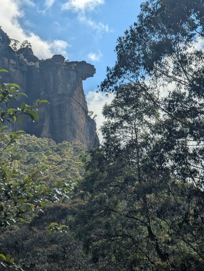
Above the river the cliffs only occasionally appeared through the trees. Dalpura Head is the pagoda-topped outcrop to the East.

There was a little life in the pools, mostly above the Dalpura junction. Tiny fish and the occasional yabby sat in one of the clear pools

At the exit point where Koombanda Brook joined from the N, was a small grove of bottlebrush in flower on the bank.

From there it was steeply up, first through the 10m cliffline set back 50m from the river, then the trackless scrub to the alleged Engineers Track, and finally the occasionally visible track up to the Ikara Head climbers pad.
The climbers track was a welcome relief. It was easy to follow it left around the base and then high above Ikara Creek past a few caves and eventually across the Creek.
The creek was cool, but contained a bit of tanin, so only a few mouthfulls. The steep grassy slope up the the plateau was carpetted with carniverous Drosera Spatulata and Binata. The good track soon became the old 4WD track and it was only 30 minutes back to the car.

Stats
14km 6:30 hours 600m
Summary
- Not a trip to be repeated
- Few highlights
- Few views of the surrounding clifflines
- Only a little birdlife - Rufus Whistlers and a Sacred Kingfisher and a few Water Dragons. Signs of wombat and wallabies on the sandy banks
- 98% of the river section was spent in it or rock-hopping. The 2% was either scrambing through dense steep undergrowth when there was no alternative, or briefly exploring a couple of the flatter sections
- The warn water was mostly unpleasant. A wispy cotton-wool-like substance covered the submerged rocks and sometimes detached and formed a rippling gelatinous blanket. And below Dalpura the rocks were covered with a brown slippery tanin, as was Dalpura Creek
- Ikara Creek and Birrabang Brook side-creeks have accessible permanent water
- Expect 45-60 minutes per kilometer for most of the river section, and up to 2 hours for the boulder section
- I recced the W bank occasionally in search of the Engineers Track - to no avail
- Expect lawyer vine on the banks and the exit climb
- The water was warm with many swimming or bather pools
Care
The descent and climb are steep, and the river section is rough, slow walking. Check the river level and the weather before setting out; a low river makes the rock hopping easier, but this valley can change quickly after rain.
A single pole is pretty much essential - there are a lot of big slippery steps. Consider a short tape for pack hauling or assistance.